Photography Credits & Licensing Attribution
Regional Costa Rica landscape, volcano, waterfall, and coastal photography on costarica4x4.com is provided by Joshua ten Brink / WildPhotography.com alongside verified Creative Commons / Public Domain adventure photography from Wikimedia Commons.
| Preview | Asset File | Subject / Location | Photographer / Source & License |
|---|---|---|---|
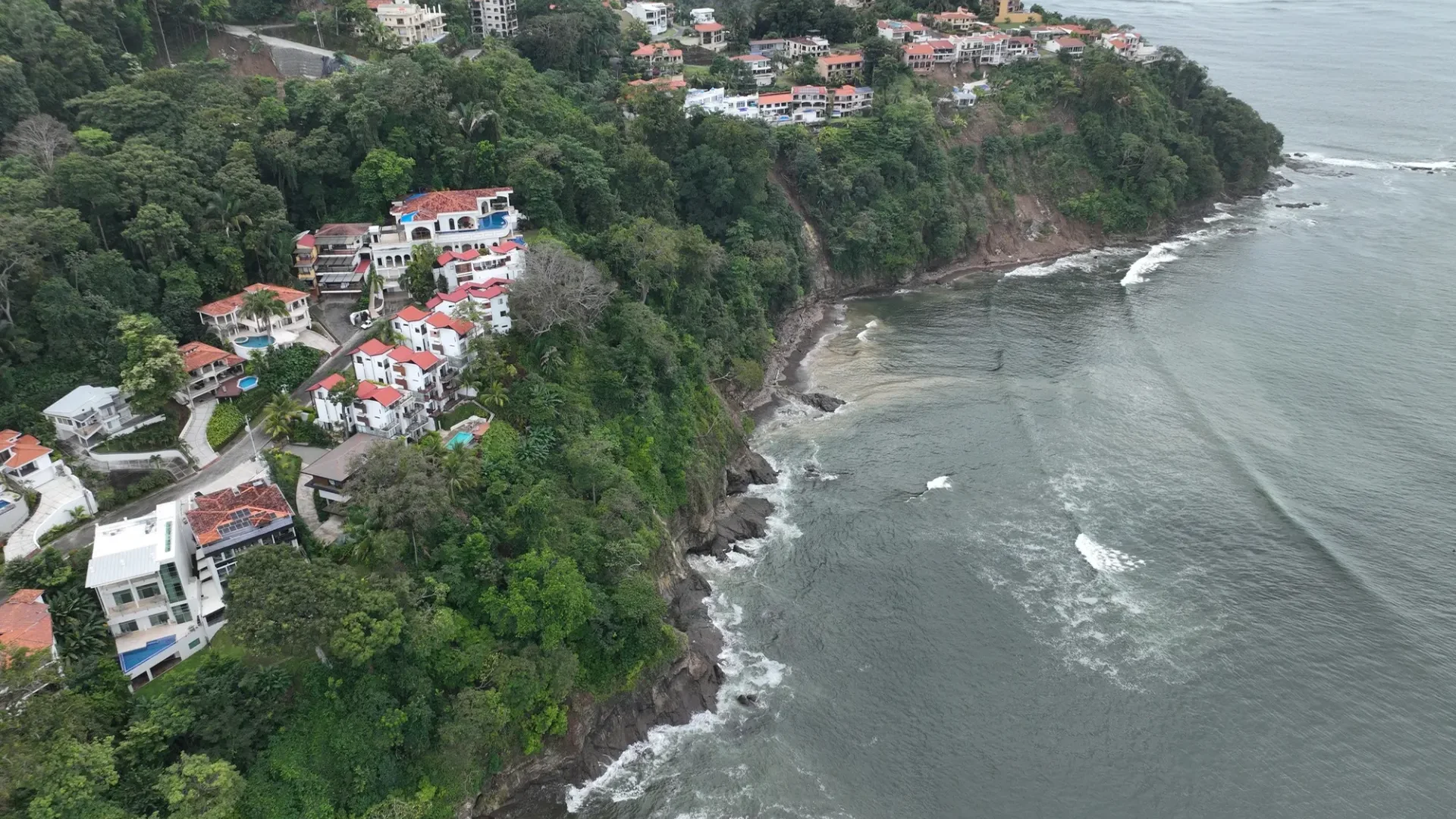 |
hero-4x4.webp | Guided ATV & 4x4 Rainforest Trail Excursion in Jacó, Costa Rica | WildPhotography (Joshua ten Brink) (WildPhotography.com ↗) |
 |
vehicle-4x4-safari.webp | 4x4 Off-Road Mountain & River Crossing Excursion in Costa Rica | WildPhotography (Joshua ten Brink) (WildPhotography.com ↗) |
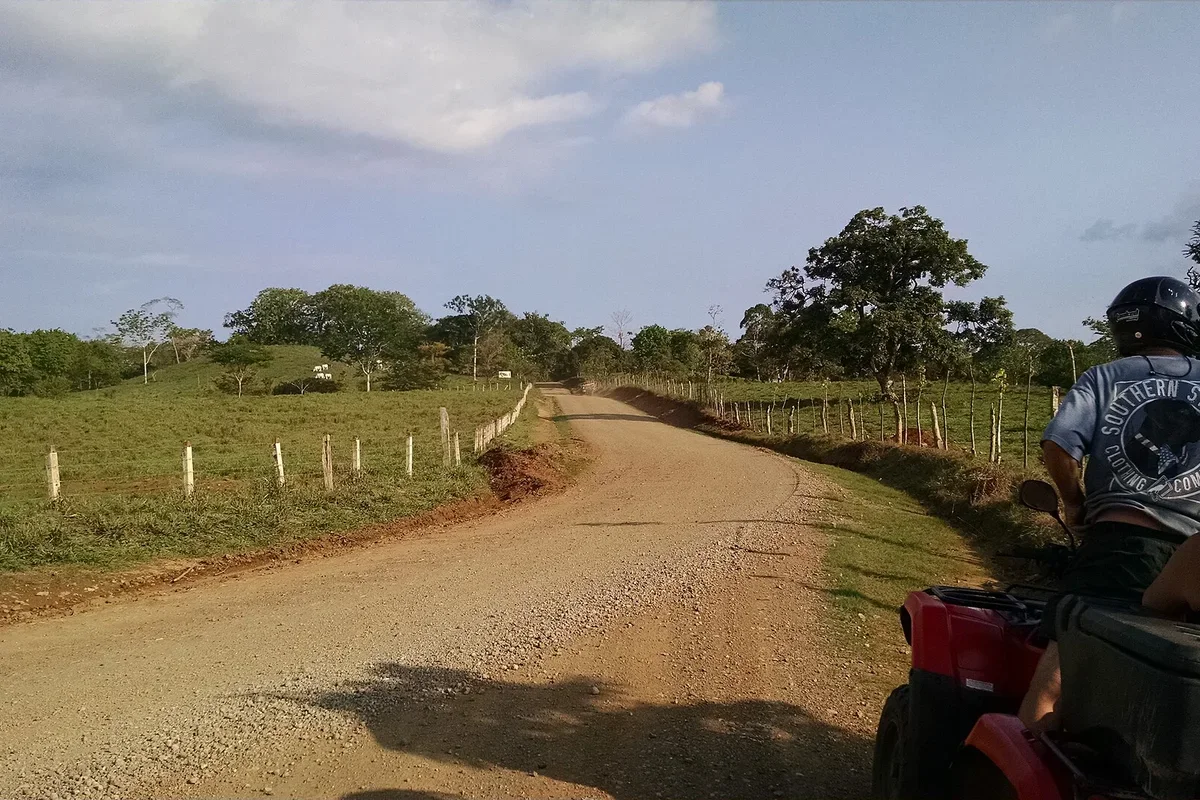 |
vehicle-atv.webp | Riders on a Guided Single & Double ATV Trail Tour in Costa Rica | Wikimedia Commons (File:Costa Rica 12 May 2016, Exploring on ATVs.jpg) ↗ |
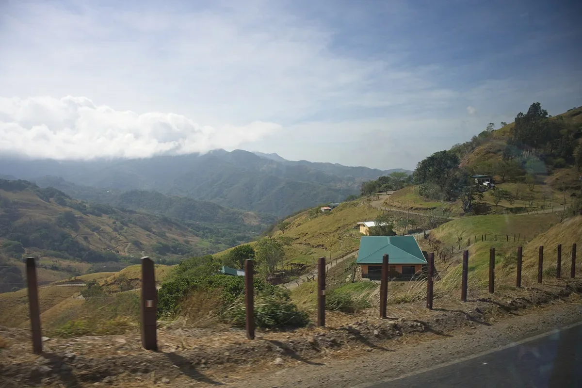 |
vehicle-utv.webp | Unpaved Volcanic Backcountry Track for Side-by-Side UTV & 4x4 Buggies | Wikimedia Commons (File:Road to Rincon De La Vieja, Costa Rica.jpg) ↗ |
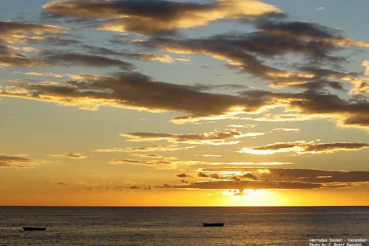 |
loc-jaco-herradura.webp | Los Sueños Herradura Bay & Jacó Coastal Mountains | Wikimedia Commons (File:Los-suenos-costa-rica-sunset.jpg) ↗ |
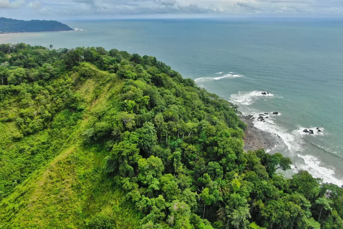 |
loc-manuel-antonio.webp | Manuel Antonio & Quepos Rainforest Headland and Pacific Coastline | WildPhotography (Joshua ten Brink) (WildPhotography.com ↗) |
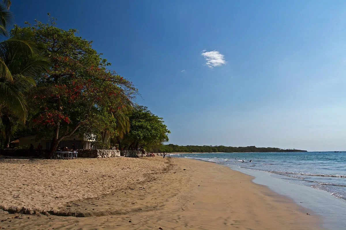 |
loc-tamarindo.webp | Playa Tamarindo & Dry-Forest Coastal Trails, Guanacaste | Wikimedia Commons (File:Tamarindo beach-Guanacaste-Costa Rica.jpg) ↗ |
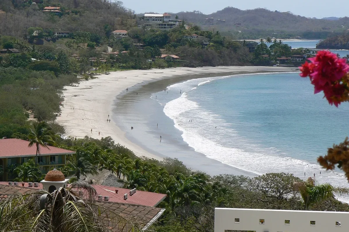 |
loc-flamingo-potrero.webp | Playa Flamingo, Potrero Bay & Las Catalinas Ridge | Wikimedia Commons (File:Playa Flamingo Costa Rica.JPG) ↗ |
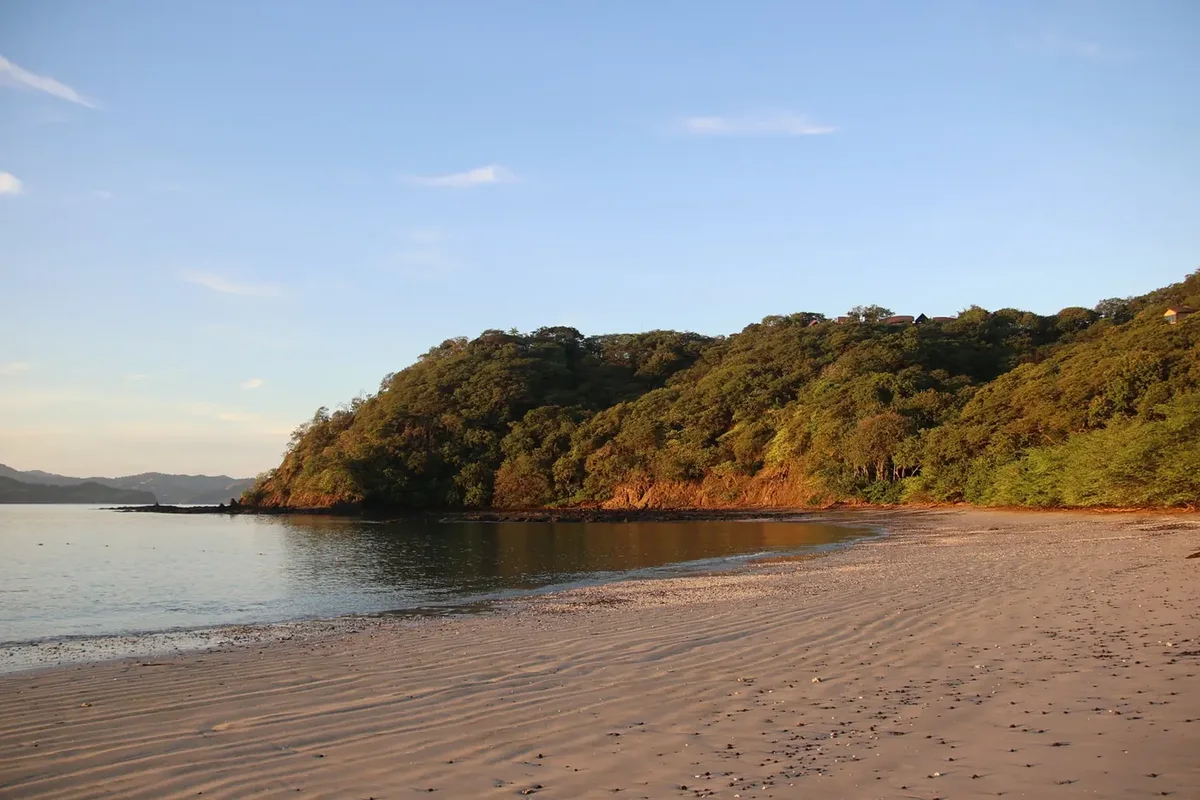 |
loc-coco-papagayo.webp | Playas del Coco & Gulf of Papagayo Coastal Lookout | WildPhotography (Joshua ten Brink) (WildPhotography.com ↗) |
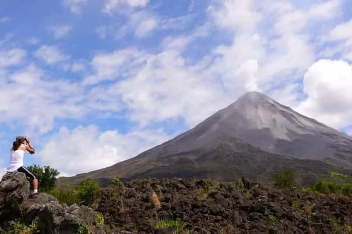 |
loc-la-fortuna-arenal.webp | Arenal Volcano & La Fortuna Rainforest Foothills | WildPhotography (Joshua ten Brink) (WildPhotography.com ↗) |
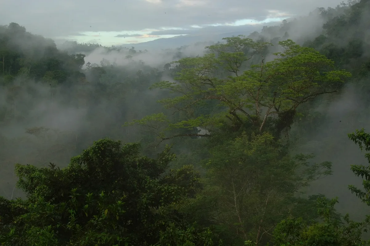 |
loc-monteverde.webp | Monteverde Cloud Forest & Continental Divide Mountain Ridges | WildPhotography (Joshua ten Brink) (WildPhotography.com ↗) |
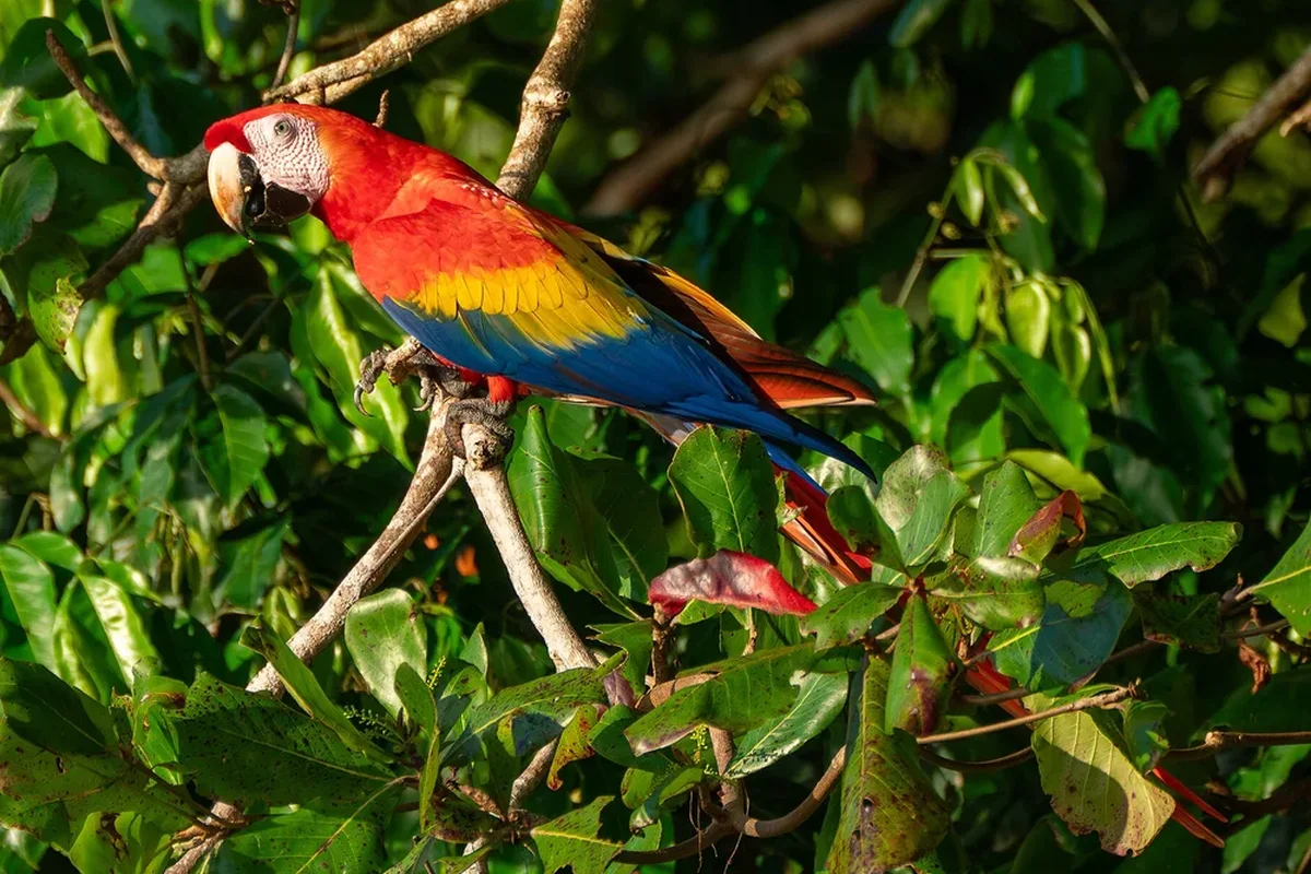 |
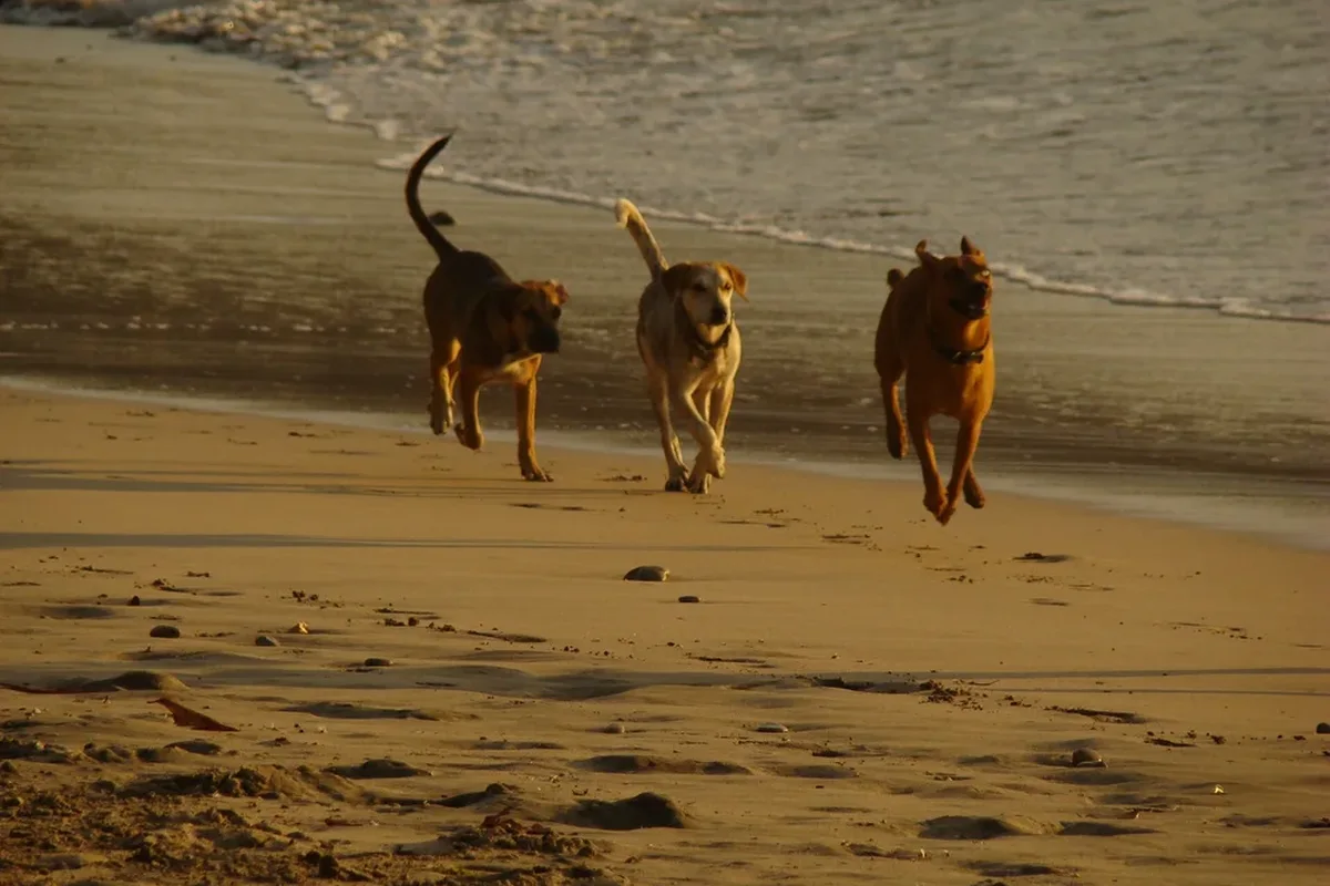
loc-uvita-dominical.webp | Uvita, Dominical & Costa Ballena Coastal Mountains | Wikimedia Commons (File:Scarlet Macaws at Uvita Beach, Costa Rica 01.jpg) ↗ |
 |
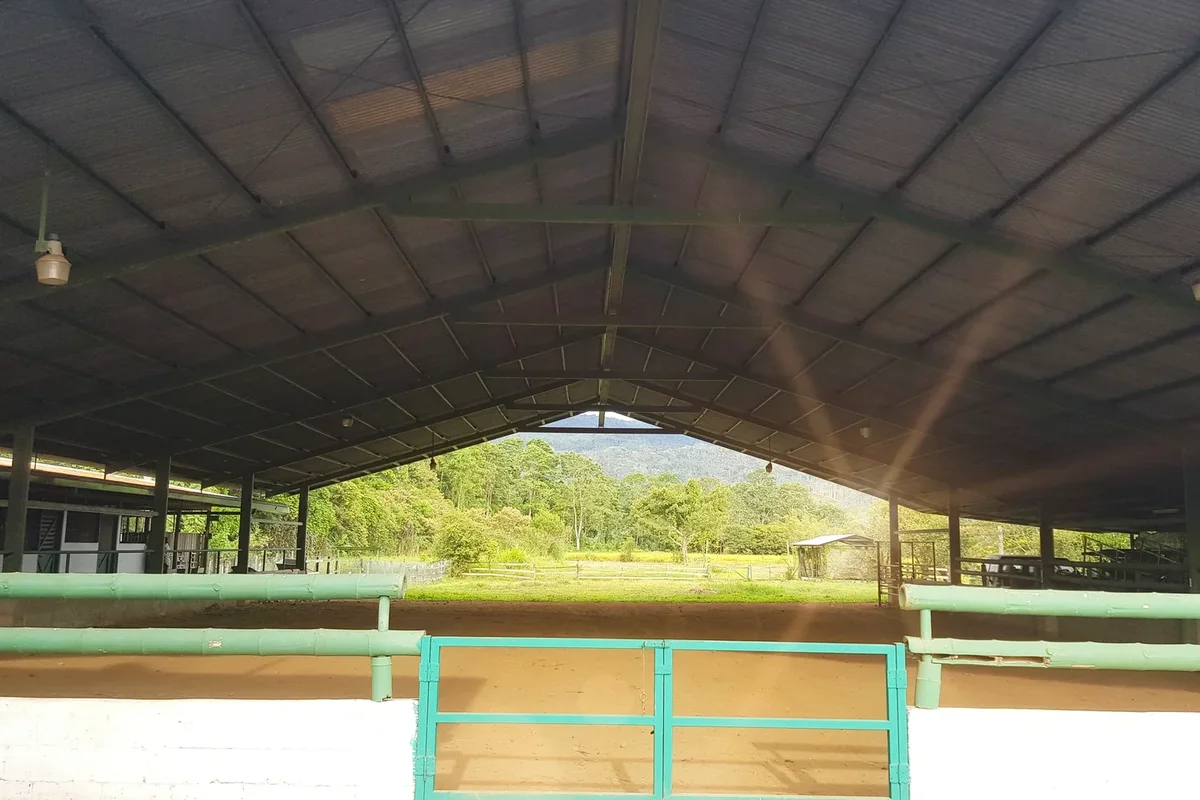
loc-samara-nosara.webp | Nosara, Playa Guiones & Sámara Nicoya Peninsula Coast | Wikimedia Commons (File:Nosara Beach Costa Rica - panoramio.jpg) ↗ |
 |
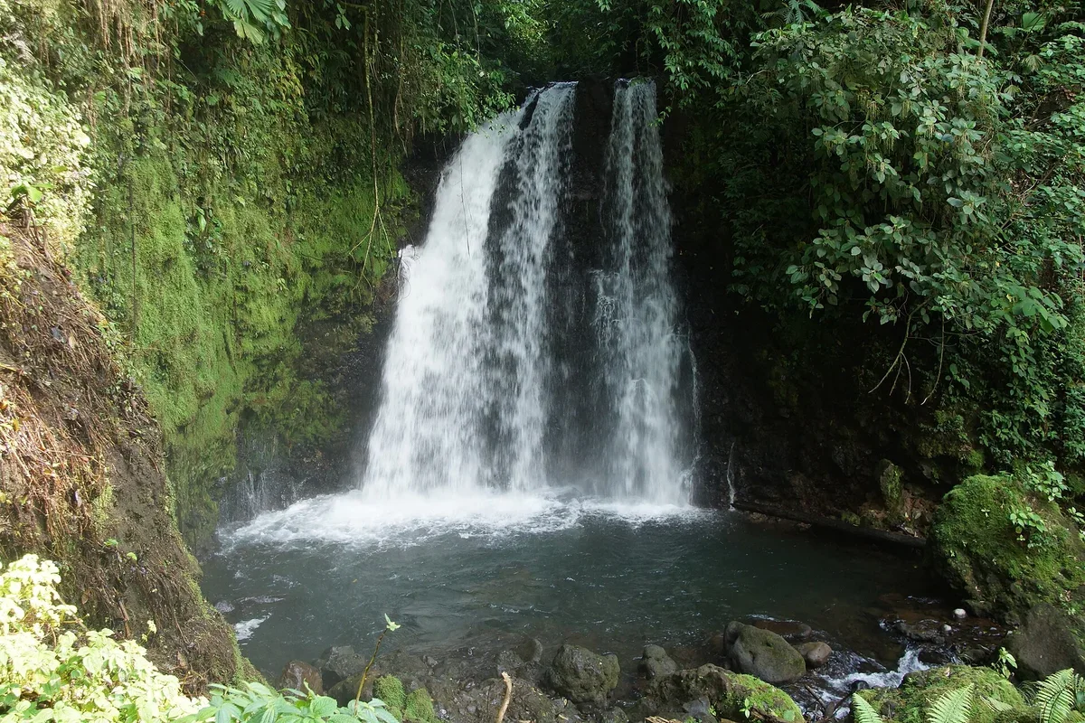
loc-san-jose-valley.webp | Central Valley Volcano Highlands & Coffee Estate Slopes near San José | WildPhotography (Joshua ten Brink) (WildPhotography.com ↗) |
 |
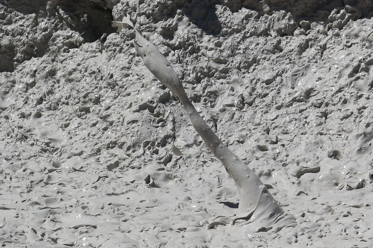
trail-waterfall.webp | Costa Rica Rainforest Waterfall Swim Stop on Guided 4x4 & ATV Excursions | Wikimedia Commons (File:Rio celeste (8440076644).jpg) ↗ |
 |
trail-volcano-mud.webp | Volcanic Foothills & Geothermal Trail Terrain in Northern Costa Rica | Wikimedia Commons (File:Rincón de la Vieja Volcano Costa Rica Mud Bubble bursting 7905.jpg) ↗ |
 |
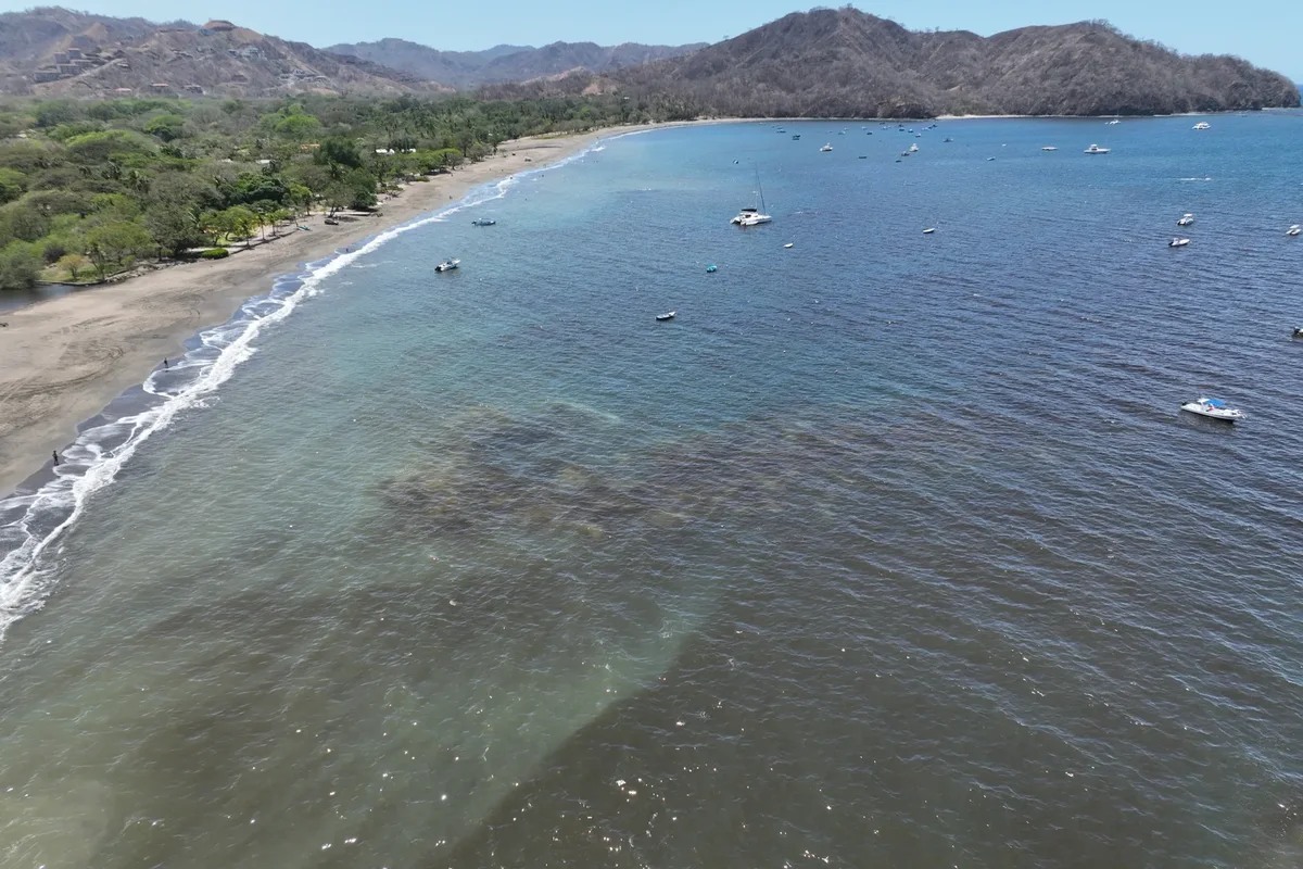
trail-coast-aerial.webp | Aerial View of Guanacaste Pacific Headlands & Unpaved Coastal Tracks | WildPhotography (Joshua ten Brink) (WildPhotography.com ↗) |
 |
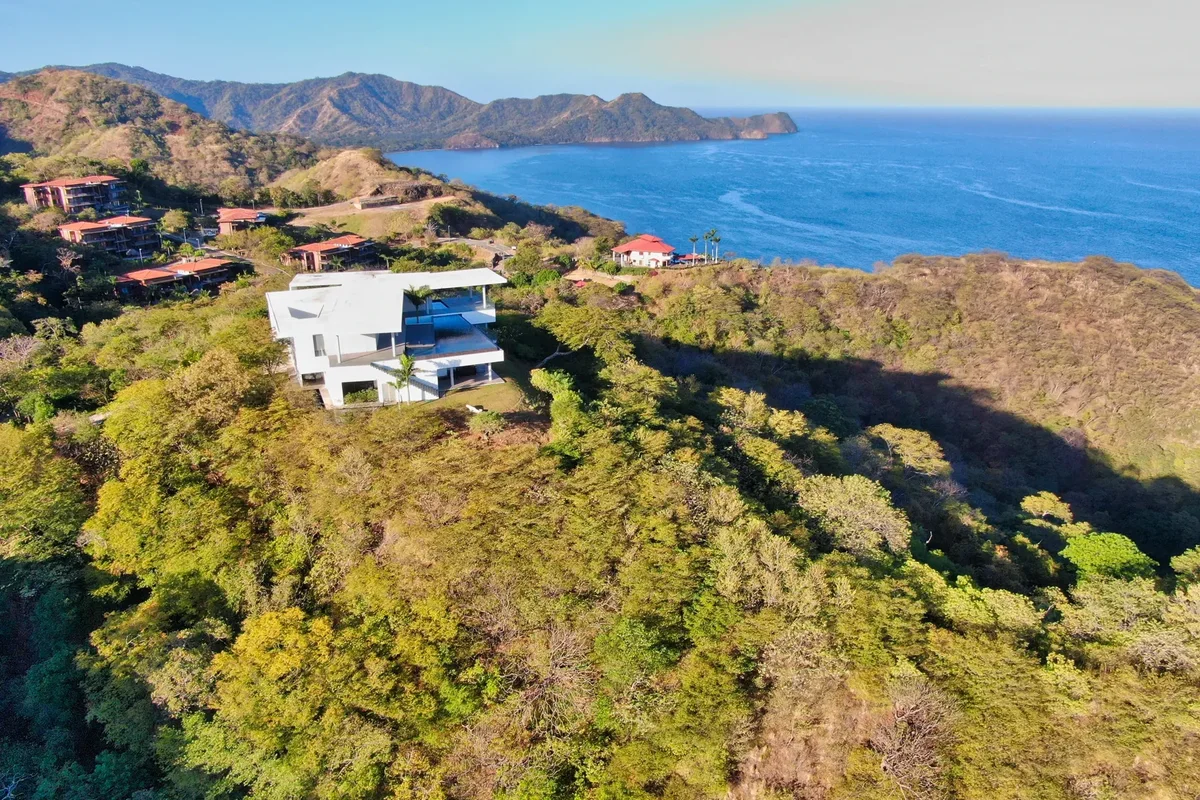
trail-guanacaste-hills.webp | Guanacaste Ridge Overlook & Pacific Bay Views | WildPhotography (Joshua ten Brink) (WildPhotography.com ↗) |
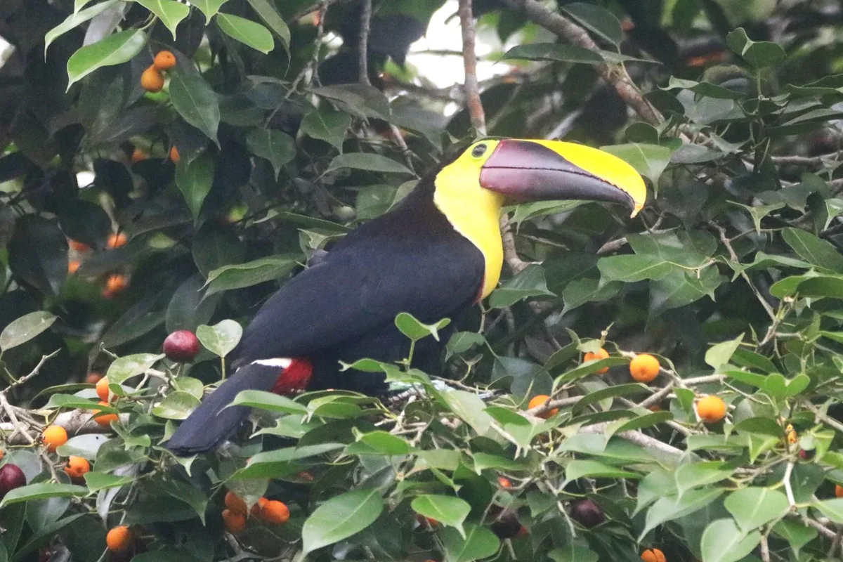 |
trail-wildlife.webp | Rainforest Wildlife Sightings Along Guided 4x4 & Nature Corridors | WildPhotography (Joshua ten Brink) (WildPhotography.com ↗) |
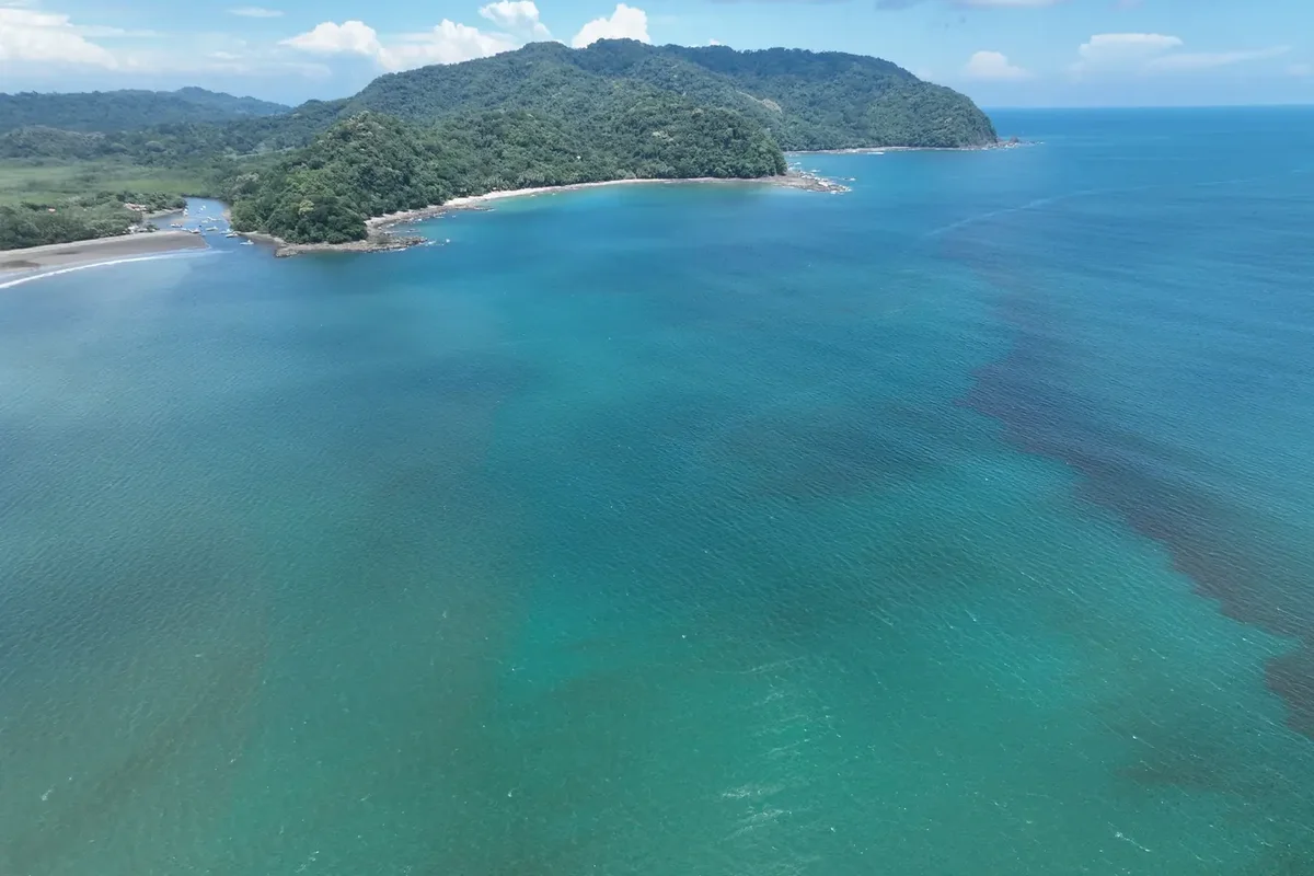 |
trail-ocotal-coast.webp | Playa Ocotal & Punta Cacique Coastal Bluffs | WildPhotography (Joshua ten Brink) (WildPhotography.com ↗) |
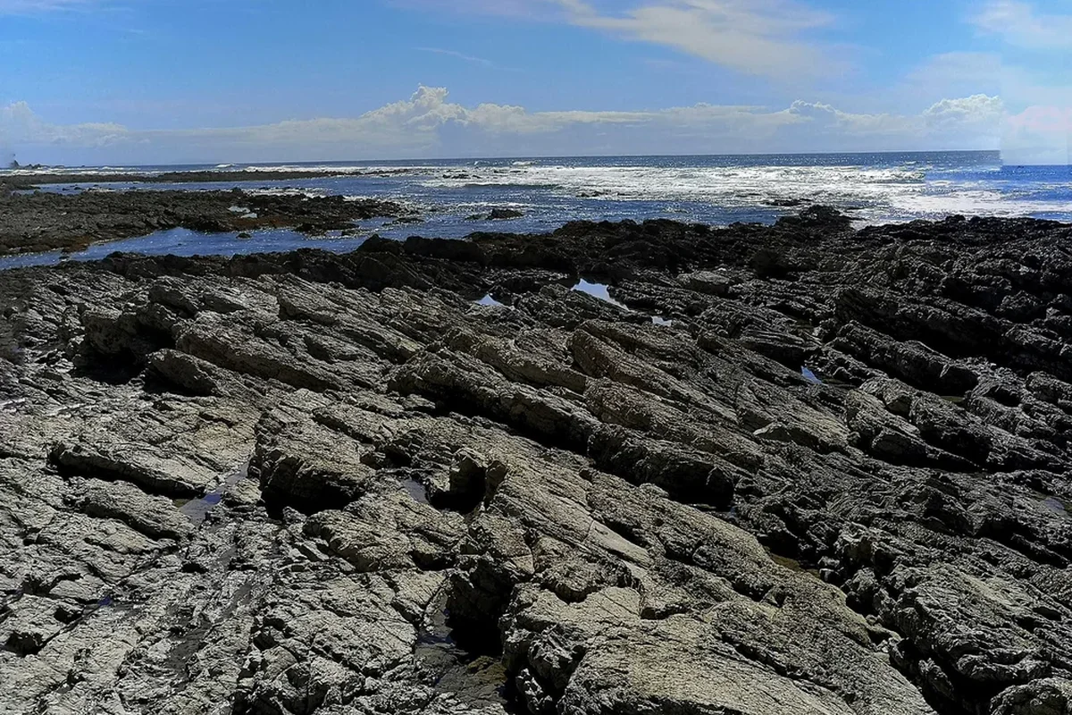 |
trail-samara-bay.webp | Playa Sámara & Carrillo Palm-Lined Bay | Wikimedia Commons (File:2021 Playa Samara Costa Rica enero 2021 25.jpg) ↗ |
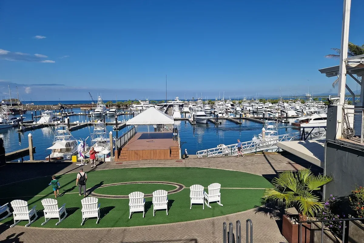 |
trail-quepos-marina.webp | Quepos & Manuel Antonio Departure Hub | Wikimedia Commons (File:Quepos Marina (4).jpg) ↗ |